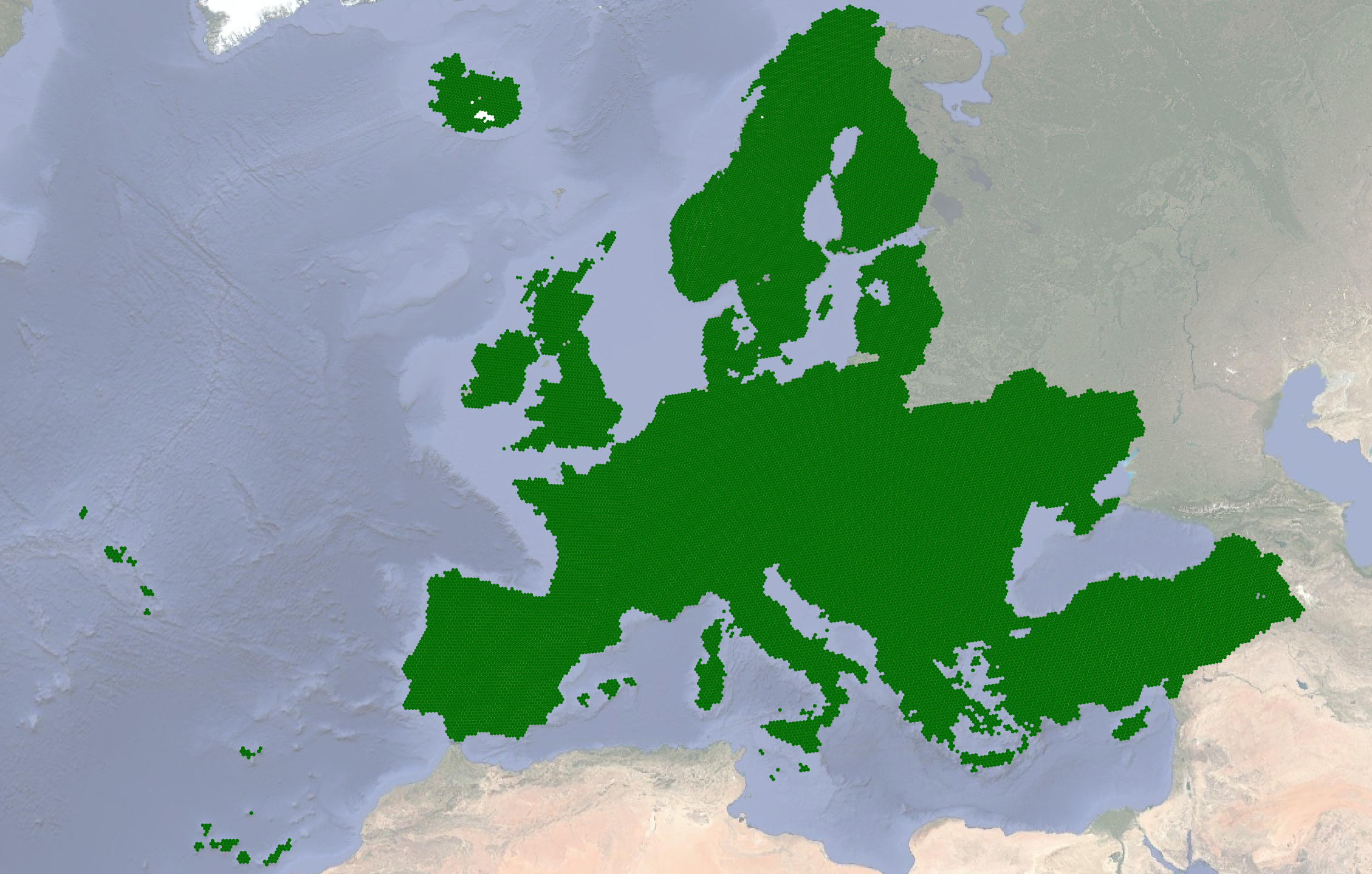
EU field boundaries
A vector dataset of Field Boundaries, automatically delineated from Sentinel-2 satellite imagery from May-June 2022.
Automatic field delineation refers to the process of automatically tracing the boundaries of agricultural parcels from satellite or aerial imagery. We consider an agricultural parcel as a spatially homogeneous land unit used for agricultural purposes, where a single crop is grown. The result of the FD is a set of closed vector polygons marking the extent of each agricultural parcel. Such polygons are the input to a multitude of applications, ranging from the management of agricultural resources, such as the Area Monitoring for the Common Agricultural Policy, to precision farming, to the estimation of damages to crop yield due to natural (e.g. drought, floods), and human-made disasters (e.g. war). Automatic estimation of parcels with high fidelity in a timely manner allows therefore to characterize the changes of agricultural landscapes due to anthropogenic activities, agricultural practices, and climate change consequences.
The dataset was created using Copernicus Sentinel-2 data for May 2022, provided by @sinergise.
Dataset License
Links
Authors
- Matej Batic
- Devis Peressutti
- Nejc Vesel
- Sara Verbic
- Matic Lubej
- Nika Oman Kadunc
- Chris Holmes
Acknowledgements
This work has received funding from the European Union's Horizon Europe research and innovation programme under grant agreement No. 101059548.
For more info about the project, see OpenEarthMonitor.